04/01/2022-10/01/2022
About us
- The over 10-year success story of weeklyOSM, as well as our editorial team, continue to develop but are also subject to change.
- With new support, weeklyOSM will therefore be available from issue 595 not only in ZH-TW (Chinese Traditional) but also in ZH-CN (Chinese Simplified).
- However, issues will no longer be published in PT-BR, as we can no longer ensure quality due to a lack of native language support. We suggest that readers use the PT-PT edition until we find someone who wants to fill this gap in the editorial team.
Mapping campaigns
- qeef correctly stated in his blog post that ‘data quality matters’. Taking a cue from Johnwhelan’s cleanup suggestions, which we reported on in issue #598, qeef describes three steps that are useful for quality assurance to clean up the geometry of an area following a distributed mapping action when using the Divide and map. Now tasking manager.
- Christoffs presented
 > us with a new website showing all the defibrillator locations (menu and description only on ) in Poland mapped in OSM.
 - Enock Seth Nyamador announced the start of an organised mapping activity in the Eastern Region of Ghana on the Talk-gh mailing list. The focus of this campaign is to add the
smoothnesstag to highways that have been surveyed as part of a research project in the area. - Following the large oil spill in Peru, the Peruvian OSM community has established two mapping tasks with its Tasking Manager to facilitate medical care in the affected region:
- #4 Mapping of buildings > in Wachapea, Pakun, Umukai and Nazareth communities affected by oil spills.
- #7 Mapping of access roads > to Wachapea, Pakun, Umukai and Nazareth communities.
- #4 Mapping of buildings
- UNGSC-DTLM-Ale_Zena works and maps for the UN Mappers Project. In a blog post, Alessandro expressed frustration about the poor quality of buildings added by beginners from a HOT task manager project for an extremely dense area, causing ‘another chaos in Mogadishu’.
 >
> 
 >
> Mapping
- Ivan Ruggiero shared, on the Talk-africa mailing list, a problem with tagging he found in Cameroon. From an overpass query, he found more than 2000 nodes with 138 different invalid values for the
place=*tag. - Emmanuel Jolaiya started a conversation on how to tag ‘football viewing centres’ on the Talk-africa mailing list. He describes them as a type of public football viewing centres which do not fall under cinemas or pubs/bars with television. Responses to the thread show that they are present in other African countries.
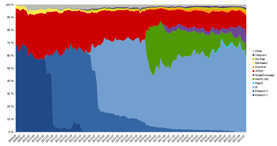
- Mateusz Konieczny made a short summary of some interesting parts of the 2021 editor usage statistics.
- Minh Nguyen shared his insights on how to detail school classifications, which has long been a tricky subject in OSM.
- OSM now has over three million notes in the database. Unfortunately, note #3000000 > was closed as invalid.
- Requests have been made for comments on the following proposals:
- To deprecate
embassy=embassyand promoteembassy=yesinstead. - New tag
tourism=cabinfor a small, single-unit, rentable building (or group of buildings) with few amenities designed to accommodate lodging.
- To deprecate
- Voting is underway for the following proposals:
bicycle_rental=docking_station;key_dispensing_machine;dropoff_point;shop;...to clarifyamenity=bicycle_rentaltagging as to what type of bicycle rental it is, until Thursday 20 January.parking:lane:*,parking:condition:*=*to introduce conditionals for parking lanes and deprecating the use of certain older tags, until Friday 21 January.
- The proposal for the new tag
amenity=parcel_lockerwas adopted with 47 votes in favor, 12 against and 1 abstention.
Community
- Gigi Meikle described in her very detailed article the enormous importance of mapping small isolated communities and seasonally difficult-to-pass routes to them with OSM to help Operation Fistula (improving maternal health related to labour-related fistula formation and its treatment) succeed in Madagascar.
- OpenCage continued its interviews with members of the OSM community in 2022. In the 9 January issue, Ronald Lomora (aka Romeo from Juba South Sudan) answered OpenCage’s questions.
- Amanda’s OSM Activity Report for December 2021.
- MapSãoFrancisco has begun > its projects in the Velho Chico basin with collaborative mapping of lakes and marginal floodplains in the lower São Francisco in OSM. To select the project areas that can be mapped, access can be made either through MapSãoFrancisco or through the HOT Tasking Manager.
- Simon Poole has updated the contributor statistics reports on the wiki.
- Thomas Straupis shared his personal and very critical opinion of OSM and its governance for discussion against the background of his participation in the ‘International Cartographic Conference 2021’.
 >
> OpenStreetMap Foundation
- Microsoft donated $10,000 to OpenStreetMap in their latest FOSS Fund award round.
Events
- The programme > and list of speakers > for FOSSGIS 2022 > are now online.
 >
> Education
- b-unicycling has started a new video series on Youtube. As she reports in her blog post she will present the Derrynaflan Heritage Trail. In the first episode she maps the first buildings on the trail and shows how she created a route relation for the trail.
Software
- GraphHopper Maps for Android is a Capacitor-wrapper (Capacitor is an open source native runtime for building web apps) for the navi branch of GraphHopper Maps, which provides directions and (experimental) turn-by-turn navigation for car, bicycle and foot. There are many known limitations for the turn-by-turn navigation feature (which are also in the browser version).
- With his diary entry lubosb [sk] > addresses people who come to Slovakia for tourist reasons. He recommends freemap.sk as a planning tool and OsmAnd for on-road use.
- Manuel Reimer announced > a Firefox add-on called OSM Everywhere, which replaces maps by Google, Bing or Here with OpenStreetMap tiles on every website you visit.
- Victor Shcherb, the founder of OsmAnd, summed up the features added in 2021 and ventures a view of what’s planned for 2022.
- SomeoneElse presented his way of making a map-related prediction about flooded footpaths in relation to water levels measured at close upstream and downstream gauging stations.
- wowirleben.de (where we live) > is a web project that takes OSM data, and groups the data by ‘is it relevant to a specific road?’. The results are presented in list form with a map view and it puts a focus on web links. It may become an interesting tool for checking the accuracy of links around places you know. For now, it’s only available for Germany. The website uses Google Analytics and AdSense. It is also possible to propose an entry, which can get promoted with a payment.
Did you know …
- … that the Wikipage ‘3D Demo Areas‘ contains many links displaying 3D buildings on a large scale?
- … the Open Etymology Map, an interactive map that shows the origin of names of streets and points of interest based on OpenStreetMap and Wikidata?
Other “geo” things
- Matthias Maurer took Russian Orthodox Christmas as an opportunity to show two wintry Russian river landscapes from a high altitude.
- Allan Mustard pointed out a highly interesting map of medieval Europe showing the situation in 1444 at the rise of the Ottomans. We also found a video showing the territorial development of Europe including the respective population figures from 400 BC to the year 2017.
- French confectioner Mr. Laurent has created a topographical chocolate of Pic du Midi d’Ossau using public data from the French National Institute of Geographic and Forest Information (IGN).
 a topographical chocolate of
 Upcoming Events
| Where | What | Online | When | Country |
|---|---|---|---|---|
| Lyon | EPN des Rancy : Technique de cartographie et d’édition | 2022-01-15 |  | |
| 北京市 | 公共交通绘制问题集中交流会/Public Transport Mapping in China – Meetup1 | 2022-01-16 – 2022-01-17 |  | |
| Hilversum | OSGeo.nl/OSM-NL/QGIS-NL Nieuwjaars Borrel | 2022-01-16 |  | |
| Lyon | Rencontre mensuelle Lyon | 2022-01-18 | | |
| 147.Treffen des OSM-Stammtisches Bonn | 2022-01-18 | |||
| San Jose | South Bay Map Night | ✓ | 2022-01-19 |  |
| Lüneburg | Lüneburger Mappertreffen (online) | 2022-01-18 |  | |
| Dublin | OpenStreetMap Ireland – Virtual Map and Chat | ✓ | 2022-01-20 |  |
| Grenoble | Rencontre mensuelle du groupe OSM Grenoble | 2022-01-24 | | |
| Bremen | Bremer Mappertreffen (Online) | ✓ | 2022-01-24 | |
| OSMF Engineering Working Group meeting | 2022-01-24 | |||
| Hoeselt | 2022-01-25 |  | ||
| OSM Utah Highway Classification Documentation Sprint | 2022-01-27 | |||
| Düsseldorf | Düsseldorfer OpenStreetMap-Treffen (Online) | 2022-01-26 | | |
| Missing Maps online Mapathon des DRK | 2022-01-26 | |||
| [Online] OpenStreetMap Foundation board of Directors – public videomeeting | 2022-01-27 | |||
| Amsterdam | OSM Nederland nieuwjaarsbijeenkomst (online) | 2022-01-29 | | |
| Bogotá Distrito Capital – Departamento | Reunión Trimestral OSM-LatAm | 2022-01-29 |  | |
| 京都市 | 京都!街歩き!マッピングパーティ:第29回 鹿王院 | 2022-01-30 |  | |
| Ville de Bruxelles – Stad Brussel | Virtual OpenStreetMap Belgium meeting | ✓ | 2022-01-31 | |
| London | Missing Maps London Mapathon | 2022-02-01 |  | |
| San Jose | South Bay Map Night | ✓ | 2022-02-02 | |
| Landau an der Isar | Virtuelles Niederbayern-Treffen | ✓ | 2022-02-01 | |
| Berlin | OSM-Verkehrswende #33 (Online) | 2022-02-01 | | |
| Lyon | EPN des Rancy : Technique de cartographie et d’édition | 2022-02-05 | |
Note:
If you like to see your event here, please put it into the OSM calendar. Only data which is there, will appear in weeklyOSM.
This weeklyOSM was produced by JuliaBesaB, Nordpfeil, SK53, Sammyhawkrad, Strubbl, TheSwavu, YoViajo, conradoos, derFred.